Vegetation condition assessments for fire hazard management
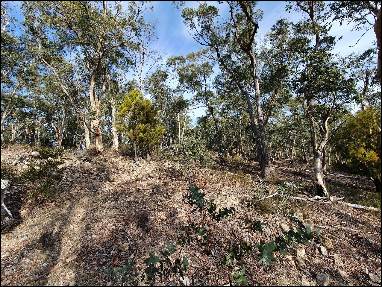
Over the autumn months of the last few years, ecologists from North Barker have surveyed several bushland reserves in Knocklofty, Waterworks, Wellington Park and Ridgway Park, conducting Vegetation Condition Assessments (TASVEG VCA method) to inform the Hobart City Council of the natural values in relation to fire history, to aid the development of their Bushfire Management Strategy.
Following TASVEG A Manual for Assessing Vegetation Condition in Tasmania, the VCA method assigns a patch of vegetation a score (out of 100) based on the site condition and the landscape context. It is used as a comparative tool to monitor the improvement or decline in site condition. The information it provides can help land managers target rehabilitation to improve site characteristics.
The goal of the NBES surveys was to assess vegetation patches based on their VCA scores compared to their fire history, in order to provide advice pertaining to future bushfire hazard management planning. The surveys also provided an opportunity to produce a detailed vegetation map of the bushland reserves, highlight any conservation significant values, and identify sites with declared weeds for eradication and management.