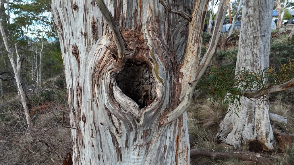
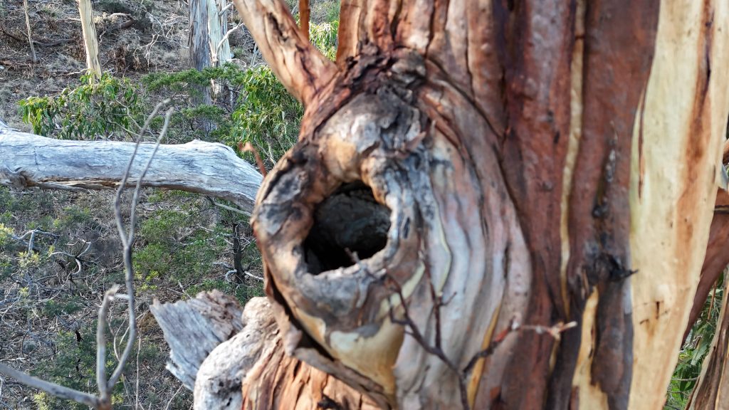
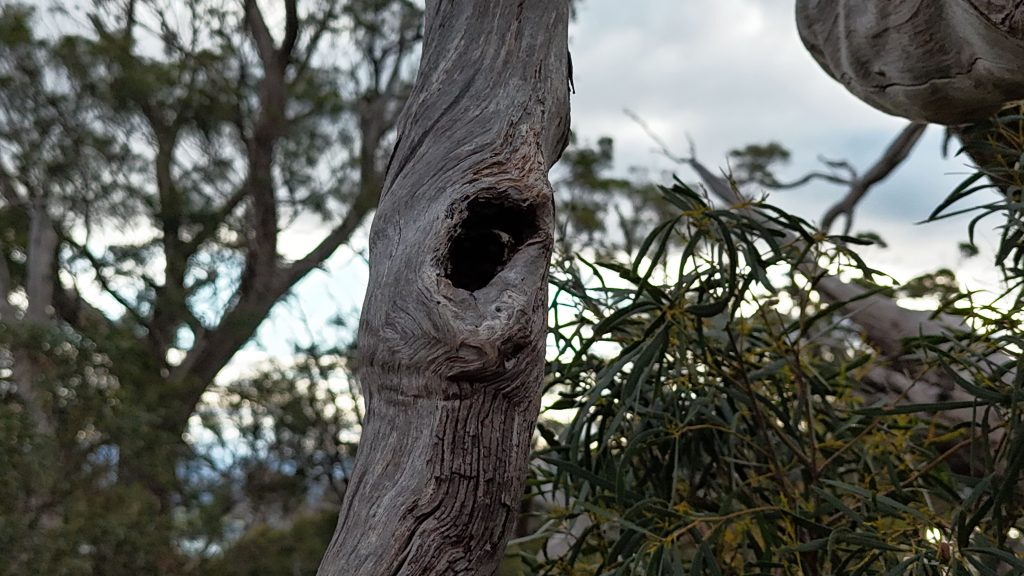
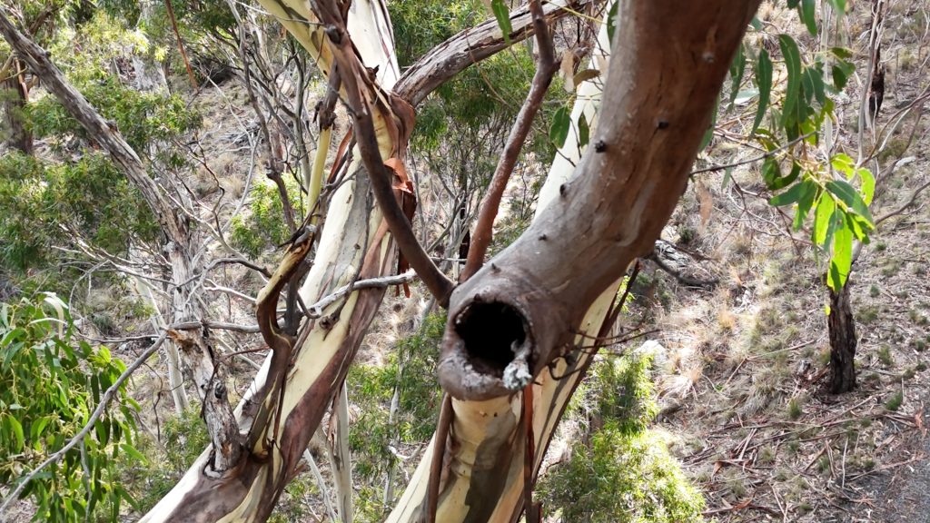
UAV tree hollow surveys
Traditionally, carrying out a large habitat tree survey could take several days or even weeks, requiring large teams, serious safety considerations, and complex on-site coordination. With modern drone technology, however, a comprehensive aerial survey can be completed in a fraction of the time. This not only dramatically reduces time and effort but also delivers high-resolution data that improves accuracy and supports better decision-making throughout the project. This is a win for both clients and nature, as we don’t like to mess around with precious hollow-bearing trees.
Recently we put our skills and equipment in this space to use with a detailed assessment of trees identified as potential nesting habitat for the swift parrot and Tasmanian masked owl. Using advanced UAV technology, our team rapidly captured high-resolution imagery of every tree, enabling precise evaluation and classification of hollows and their nesting suitability. Drones provided safer, faster access to upper canopy areas, eliminating the need for risky climbs or disruptive equipment. Our GIS experts and ecologists then analysed the data to determine which hollows met species-specific habitat requirements and could be prioritised for avoidance.