Precision tree surveys
Mapping conservation significant trees is often a critical pathway within our assessments, with trees coming with a suite of potential protections on account of providing threatened species habitat (including tree hollows), comprising key parts of threatened forest communities, and in some cases being threatened species themselves. Whether for infrastructure, public facilities, or urban design projects, precisely locating trees allows for better integration of natural values into the design process for the purposes of impact reduction.
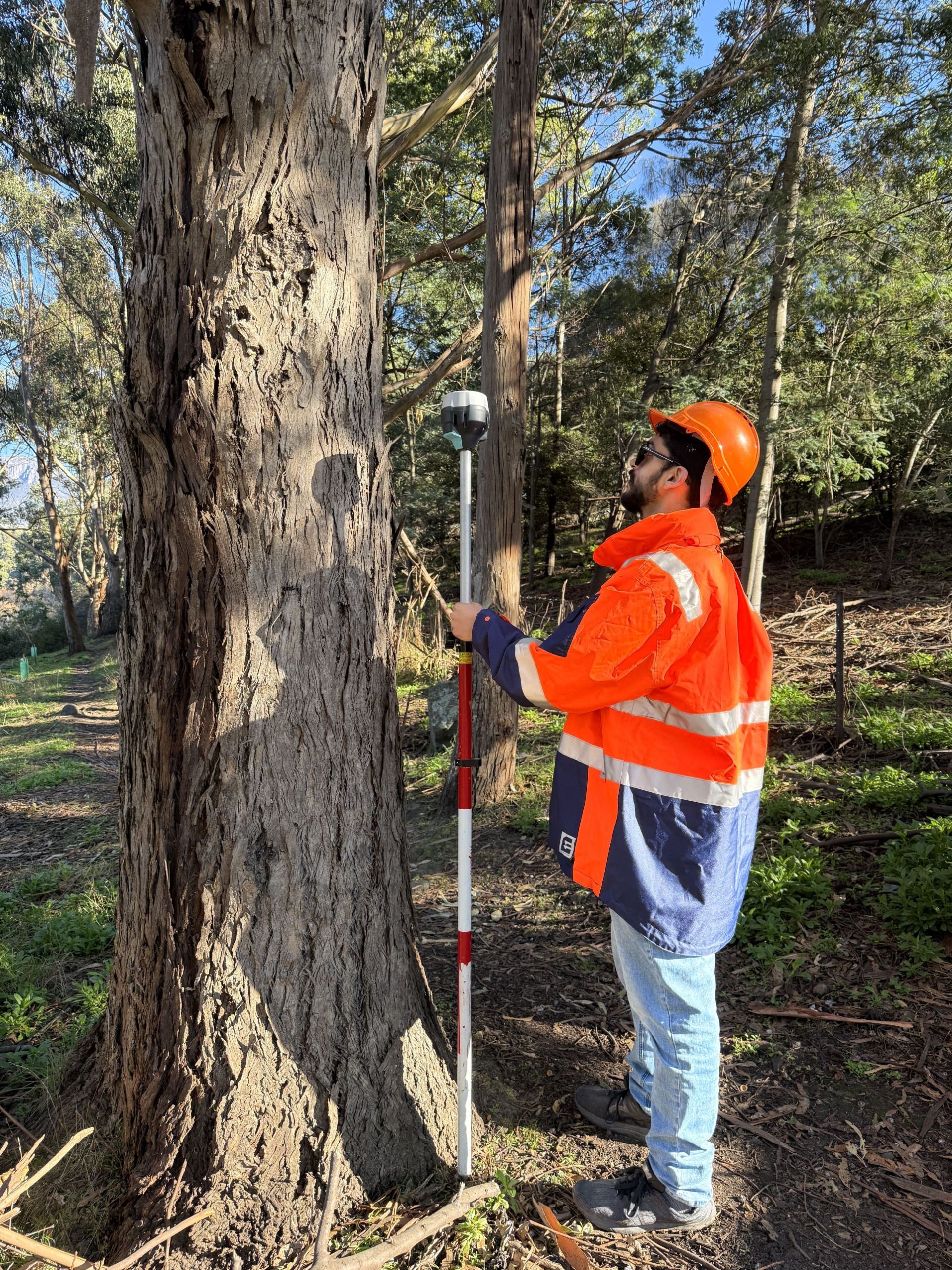
Generally, to maximise protection, we recommend trees in development situations are buffered with specific-sized tree protection zones as per AS 4970—2009. As part of this, accuracy is key, as a few metres here and there will make a huge difference to root-zone impacts and the potential for trees to survive the development. To give us the best accuracy, we undertake precision tree surveys with a differential GPS (DGPS) – our Emlid Reach provides the high-accuracy (down to cm accuracy) spatial information needed to support responsible development, effective environmental planning and risk avoidance from proximity to trees – this helps identify constraints early, informs regulatory assessments, and supports decisions that balance project goals with tree protections and retention.
We’ve put this technology to use in many projects, include road upgrades, sporting facilities and general urban development. Our precise datasets enable the proponents on these developments to:
- Understand the locations of conservation significant trees for design avoidance and/or mitigation measures.
- Make data-informed decisions to avoid or minimise vegetation removal aided by our tree retention plans and recommendations.